What is The Cost of a Custom Hand-Illustrated Map?
An illustrated map is a memorable way to show people where you are, what is nearby and what makes your location special.
From visitor maps and event guides to venue plans and branded maps for brochures, a bespoke map can make information easier to understand while adding personality to your marketing materials.
But how much does an illustrated map cost?
There is no standard price because every map is different. A simple map showing a business and a few nearby landmarks will take less time to create than a detailed visitor map featuring roads, buildings, attractions and custom illustrations.
The final cost will depend on the size, detail, intended use and amount of original artwork required.
At Image Box Design, we create bespoke map designs for businesses, venues and organisations in Reading, Berkshire and across the UK.
What Is an Illustrated Map?
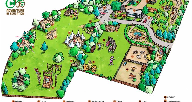
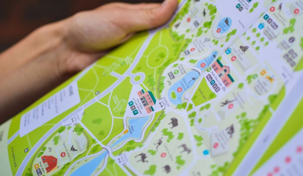
An illustrated map is a custom-designed map that combines accurate location information with creative artwork. It can show roads, buildings, landmarks, attractions, walking routes, facilities and points of interest in a style suited to your business or organisation.
Unlike a standard online map, an illustrated map can be designed around your brand, audience and purpose.
Illustrated maps can be used for:
- Visitor attractions and tourism brochures
- Hotels, wedding venues and hospitality businesses
- Schools, universities and business parks
- Housing developments and property estates
- Local events and community projects
- Heritage sites and cultural organisations
- Brochures, leaflets and visitor guides
The style can be colourful and playful, clean and corporate, traditional and hand-drawn, or detailed and technical. The right approach will depend on how the map will be used and who needs to read it.
How Much Does an Illustrated Map Cost?
As a broad guide, a simple bespoke business map may cost several hundred pounds. A larger or more detailed visitor map with several custom illustrations can cost considerably more.
Published UK examples range from around £200-£300 for simpler business commissions to several thousand pounds for detailed visitor maps with extensive original artwork. These figures are only an indication, as every project is different.
A quote will usually consider:
- The size of the area covered
- The number of roads, locations and landmarks included
- The level of detail required
- Whether the map needs to be geographically accurate
- The finished size and format
- Whether it will be used in print, online or both
- The number of custom illustrations and icons
- The number of revisions required
- Whether the artwork needs to be adapted for different uses
The most useful question is not only “How much does an illustrated map cost?” but also “What needs to be shown, where will it be used and how detailed does it need to be?”
What Affects the Cost of an Illustrated Map?
1. The Size of the Area
A map showing a single venue or small site will usually be less involved than one covering Reading, Berkshire or a wider tourism area.
A small map might focus on a hotel, conference venue or business park. A larger map could include surrounding towns, roads, transport links, attractions and several points of interest.
The more ground the map needs to cover, the more planning may be needed to keep it clear and easy to follow. Adding too much information can make the finished map feel crowded, so the design needs to balance detail with readability.
2. The Amount of Detail
Some maps are designed to be simple and practical, while others are intended to encourage people to explore a location.
The cost may increase if the map includes:
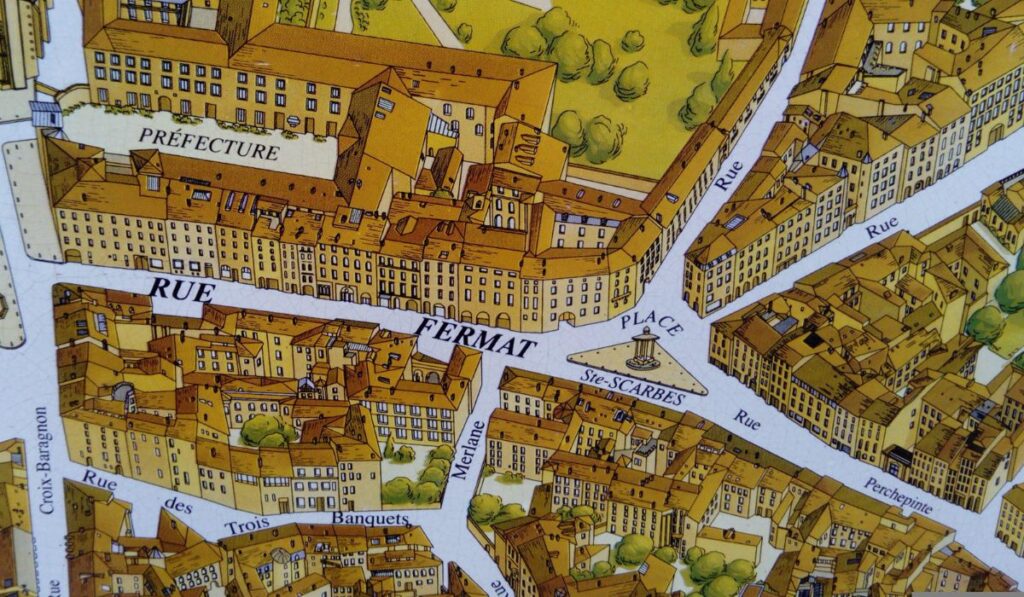
- Detailed buildings and landmarks
- Individual streets or houses
- Bridges, roads and transport links
- Parks, trees and other landscape features
- Historic sites and local attractions
- Bespoke characters, vehicles or scenes
- Custom symbols and illustrated icons
A useful tip from Image Box Design is to decide what people genuinely need to see before adding more detail. A map can look impressive but still be difficult to use if every street, building and feature is given the same level of importance.
3. The Illustration Style
The style of the map will also affect the amount of time involved.
A clean design using simple shapes, icons and a limited colour palette may be relatively straightforward to create. A hand-drawn map with individually illustrated buildings, decorative details and custom scenes will require more development.
At Image Box Design, illustrator Malcolm Henwood has experience in a range of styles, including map design, cartoon illustration, technical illustration, portraiture and caricature. This allows the artwork to be tailored to the tone of your organisation rather than based on a standard template.
4. The Number of Custom Illustrations
A map may use simple markers for places of interest, or it may include individually drawn buildings and landmarks.
For example, a Reading map might highlight Reading Abbey, the River Thames, Reading Museum or a particular local venue. If each landmark needs to be illustrated from photographs or reference material, this will involve more creative work than using standard icons.
The same applies to a private venue. A wedding venue map may include the main building, gardens, entrances, car parks and nearby accommodation, all designed to work together as one consistent illustration.
5. Geographical Accuracy
Not every illustrated map needs to be perfectly to scale.
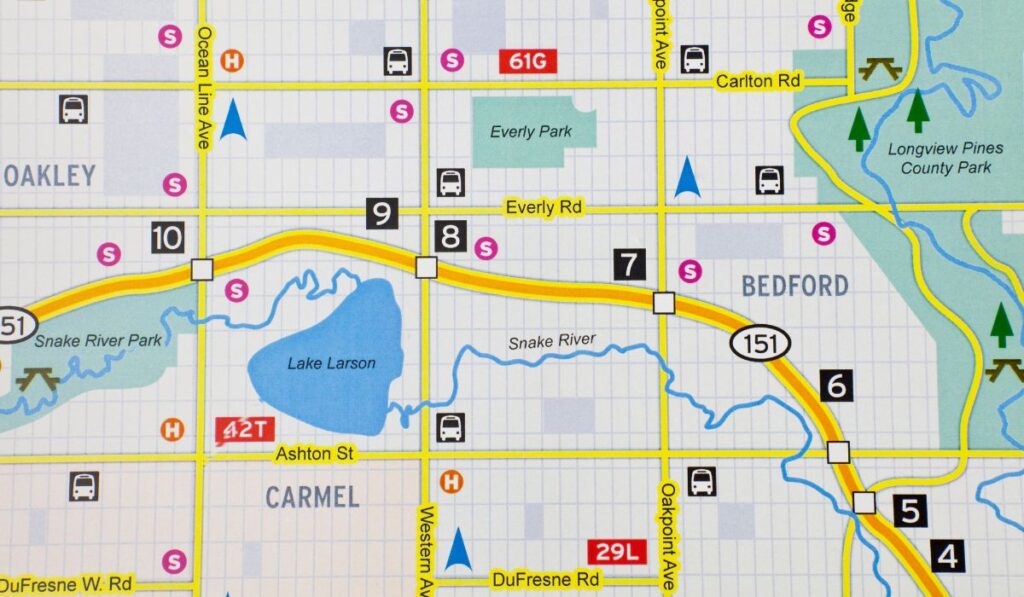
A visitor map may simplify roads or reposition landmarks slightly to make the design easier to understand. However, a technical site plan, campus map or housing development map may need to follow supplied plans and measurements much more closely.
At the start of the project, it helps to establish whether the main priority is:
- Navigation
- Geographical accuracy
- Visual storytelling
- Brand personality
- Showing a particular route or journey
A successful illustrated map balances accuracy with clarity.
Will the Map Be Printed or Used Digitally?
The intended format will influence how the map is designed and supplied.
A map for a printed brochure may need to be prepared for a particular page size, resolution and colour format. A large-format map for a display board will need to remain clear when viewed at a much larger scale.
Digital maps may be used on:
- A website
- A downloadable visitor guide
- Social media
- An email campaign
- An online event guide
- A presentation or proposal
If you need the map for both print and digital use, mention this at the beginning. Preparing the artwork correctly from the start is usually easier than adapting a finished file later.
What Is Included in an Illustrated Map Project?
Every design agency will structure its service differently, so it is worth checking what is included in your quote.
An illustrated map project may involve:
- Discussing the purpose and audience
- Reviewing existing maps, plans and reference material
- Agreeing the area and key locations
- Developing an initial visual direction
- Creating the map artwork and illustrations
- Adding labels, icons, colours and branding
- Making an agreed number of revisions
- Supplying the final artwork in the required formats
Printing may be quoted separately, depending on whether the map is needed for a brochure, leaflet, poster, display board or another printed item.
How to Prepare for a Quote
The more information you can provide, the easier it will be to receive an accurate quote.
Before contacting a designer, consider:
- What is the map for?
- Who will use it?
- How large does it need to be?
- Which roads, landmarks or buildings must be included?
- Do you have an existing map or site plan?
- Are there particular colours or styles you prefer?
- Will it be printed, used digitally or both?
- Will the map need regular updates?
- What is your deadline?
- Will the artwork be used in more than one place?
Reference images can also be useful. If you want a particular building or landmark illustrated in a certain way, photographs can help the illustrator understand the details that matter.
Why Use a Bespoke Illustrated Map?
A standard online map can provide directions, but it will not necessarily reflect your brand or help your business stand out.
A bespoke illustrated map can:
- Make a brochure or leaflet more engaging
- Help visitors find their way around
- Show the character of a location
- Make a local area easier to understand
- Support an event or tourism campaign
- Add personality to your marketing materials
- Provide reusable artwork for print and digital campaigns
It is also a chance to show your location in a way that feels more personal and relevant to your audience.
Get in Touch with Image Box Design
If you are looking for an illustrated map for a venue, event, brochure, development or local business, Image Box Design can help.
Based in Reading, Berkshire, we create bespoke illustrations and map designs for businesses and organisations across the UK. Get in touch with our team to discuss your project, explain what you need the map to show and request a tailored quote.
FAQs
How much does a simple illustrated map cost?
A simple bespoke map may cost several hundred pounds, depending on the area covered, the number of locations and the amount of custom artwork required. An accurate quote can be provided after reviewing your brief.
Can an illustrated map be based on Google Maps?
Existing maps or plans can be used as a reference, but the final artwork should be created and adapted for your intended use. A designer can simplify the information and apply a style that suits your brand.
Can you create a map of Reading or Berkshire?
Yes. An illustrated map can focus on a particular venue, neighbourhood, town or wider area, depending on what you need it to achieve.
Can an illustrated map be used in a brochure?
Yes. Illustrated maps are often used in brochures, leaflets, visitor guides, event materials and promotional literature. The artwork should be prepared at the correct size and resolution for the final format.
How long does an illustrated map take?
The timescale depends on the size, complexity and number of revisions. A simple map will usually take less time than a detailed visitor map featuring several individually illustrated landmarks.
Can the map be updated later?
This may be possible if the original artwork is supplied and kept in an editable format. If roads, buildings, contact details or attractions are likely to change, it is worth discussing future updates at the beginning of the project.
Related Guides:
- What is an Illustrated Map?
- 7 Reasons Why Illustration Is Important
- What is Illustration? A Complete Guide
- Why Local Businesses in Reading Still Need Professional Branding
- How to Choose the Right Graphic Designer in Berkshire
- Why Print Advertising Still Works for Trades & Local Services in Berkshire
- The Importance of Good Signage for Reading Businesses
- How to Choose the Right Colours for Your Logo
- What is Graphic Illustration? A Beginner’s Guide
- How to Choose a Logo Designer in Reading, Berkshire
- Why Printed Leaflets Still Work for Local Businesses in Reading